


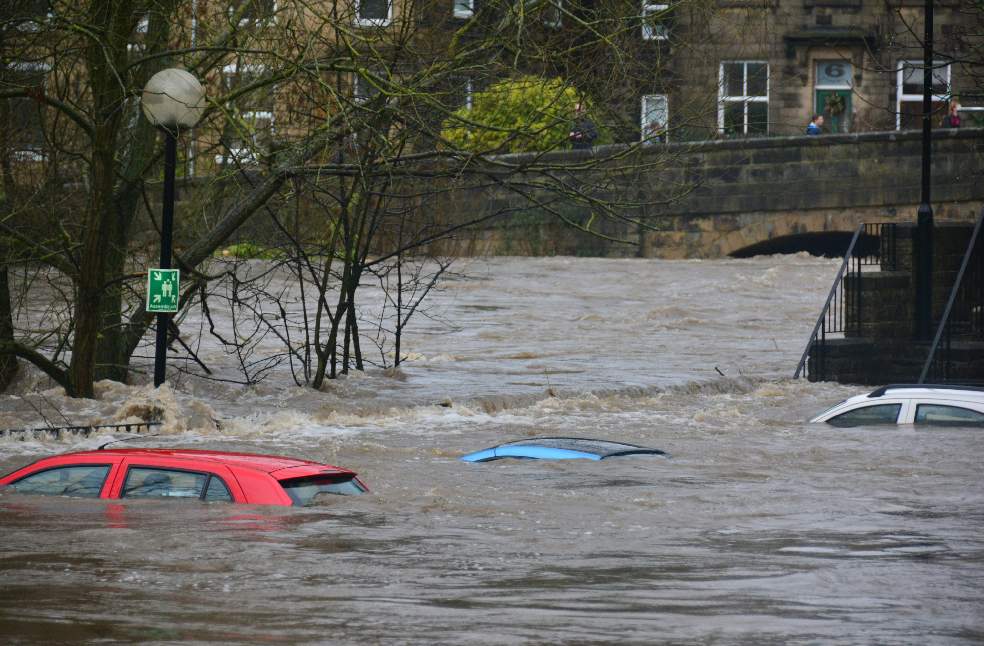
Kathmandu: Nepal floods have highlighted the growing risks facing India as the 2 countries share a vast Himalayan river system that carries large volumes of water and sediment across the border.
Nepal has more than 6,000 rivers and streams. Most flow south towards India and the Ganges. The main transboundary systems include the Kosi in the east, the Gandaki in the centre and the Karnali in the west. The Mahakali runs along the western border.
Smaller rivers such as the Bagmati, Kamala, Rapti and Babai can also cause rapid and unpredictable flooding. These rivers rise in the Siwaliks and Chure. Their smaller and steeper catchments can respond quickly to intense monsoon rainfall.
Around three-quarters of north Bihar is classified as flood-prone. The Kosi is the most notorious river and is followed by the Gandak, Bagmati and Kamala. Eastern Uttar Pradesh also faces risks from the Ghaghara, Rapti and Gandak. Uttarakhand is exposed to the Mahakali-Sharda system while north Bengal receives flows from the Mechi and Mahananda.
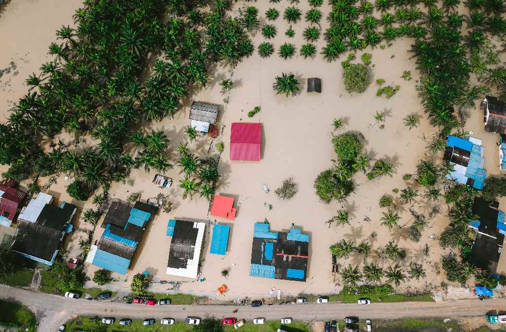
Experts say flood severity is not determined by Nepal’s rainfall alone. Water levels in India, rainfall on the Indian side, the condition of embankments and barrages and blocked drainage can all determine whether flooding becomes catastrophic.
The 2008 Kosi disaster illustrates the danger. Nearly 400 people died in Bihar after an embankment failed in Nepal. The river was carrying far less water than the embankment had been designed to withstand. The disaster therefore resulted from infrastructure failure rather than an exceptional flood.
India can receive roughly 12 hours to 2 days of warning for ordinary monsoon floods. Flash floods from Chure rivers can reach the plains within hours. A landslide-dam burst or debris flow can move even faster. During the current floods, a peak surge from Rasuwa reached Triveni near the Indian border in about 7.5 hours.
Nepal and India share real-time rainfall and river-level data. However, monitoring remains limited in some fast-flowing Chure catchments. There is also no single shared forecasting model and routine information on embankments, sediment and river-channel changes remains limited.
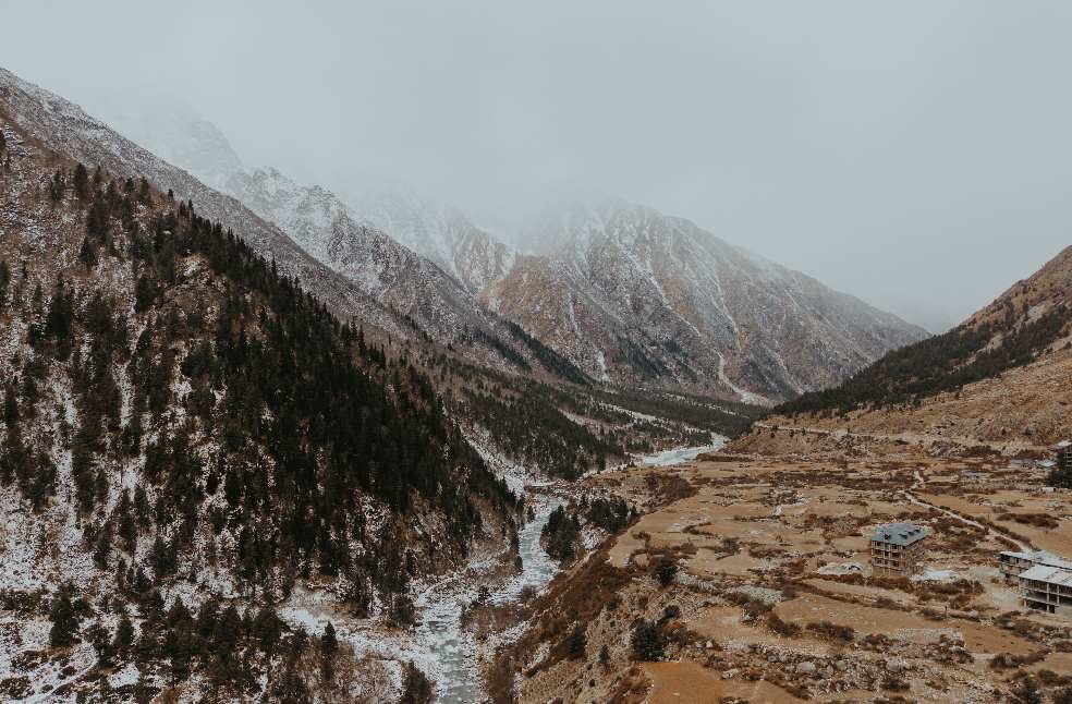
Scientists have also warned against the misconception that Nepal simply releases water into India. The Kosi and Gandak barrages are operated by India. Most floodwater reaching the border comes from rainfall upstream.
Nepal supplies around 40 percent of the Gange’s average annual flow and a larger share during the dry season. Climate change is adding another layer of risk as the region warms and rainfall becomes heavier. Glacial lake outbursts, landslides and rock-ice avalanches could also produce faster and more destructive debris-laden floods.
The 2021 Chamoli disaster in northern India killed 200 people and damaged hydropower infrastructure after a large Himalayan glacier collapse triggered a surge of water and debris. In 2025, heavy rain at Dharali in Uttarakhand caused another flash flood that buried parts of a village under metres of debris.
The growing concern is therefore not only about water crossing the border. It is about how intense rainfall, ice, rock and sediment interact across an increasingly volatile Himalayan system.
MOST READ | NHS urine test unveils new way to detect bladder cancer