



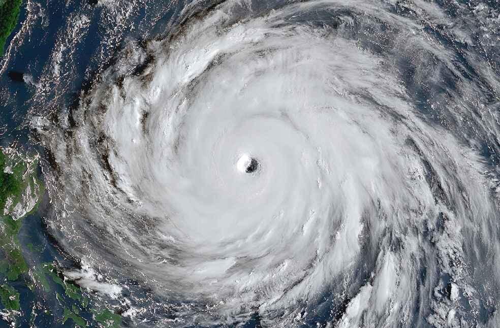
Taipei: Taiwan is preparing for heavy rainfall and powerful winds as Typhoon Champi moves close to its eastern coast, bringing wind gusts of up to 191 km/h (119mph), disrupting air travel across East Asia and prompting authorities to issue urgent safety warnings.
The storm is expected to bring as much as 90cm (35 inches) of rain through October 24, with the heaviest downpours forecast for the same day. Although it remains unclear whether the typhoon’s eye will make landfall, Taiwan’s weather authorities currently consider a direct landfall unlikely.
Champi is moving northwest before turning northeast and is expected to slow down as it approaches Taiwan’s northeastern coast between October 23 afternoon and evening. Forecasters have warned that the storm could follow an irregular path, including circling movements, before moving away from the island by October 24 night.
제30호 태풍 참피(CHAMPI) 기상청 33번째 예보(2026-10-23 16:00 발표) https://t.co/hcbwON5QNC
— KBS 재난미디어센터 (@kbsdisaster) October 23, 2026
Authorities have urged residents to stay away from coastal areas and mountains, where dangerous waves, flooding and landslides pose risks. Officials are also evacuating residents along the northeastern coast who live near a landslide dam that could breach during the storm.
At least one person died on October 22 after being swept away by waves on Liuqiu, a small island southwest of Taiwan’s main island. The fire department has reported 94 injuries, many resulting from traffic accidents and falls.
Flights cancelled across East Asia
The typhoon has disrupted travel across the region, with hundreds of flights cancelled in Taiwan and neighbouring Japan, affecting thousands of passengers.
In Japan, around 8,400 people have experienced power outages linked to the storm, according to Okinawa Electric Power. Champi is forecast to pass close to Japan’s southern Okinawa islands before moving towards China’s eastern coast and then turning northeast in the direction of mainland Japan.
China’s meteorological authority has issued a blue alert for the typhoon, the lowest level in its four-tier warning system.
Heavy rain expected
Taiwan’s Central Weather Administration continues to issue warnings for both land and sea as Champi approaches. The storm is currently southeast of Yilan, moving northwest and then northeast, while its storm area is gradually spreading across Taiwan and outlying islands, including Penghu.
The weather agency expects the most significant rainfall on October 24 morning, with the storm forecast to move away from Taiwan by Saturday night. Its movements remain difficult to predict, and authorities have cautioned the public to avoid high-risk areas.
Typhoon Champi is the latest in a series of intense typhoons developing as a Super El Niño warms the Pacific Ocean and contributes to conditions that fuel storms.
ALSO READ | France confirms first human infection with Shamonda virus