


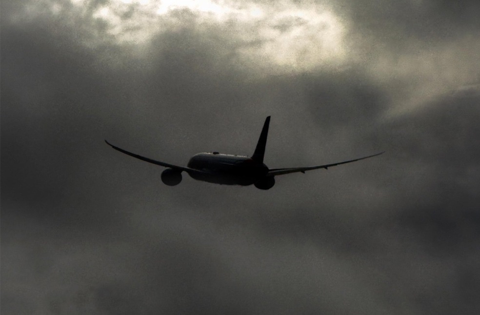
London: Amber weather warnings have been issued across parts of the UK as Storm Boelo brings powerful winds, heavy rainfall and the risk of flooding, with the strongest conditions expected in Scotland, Northern Ireland and northern England.
The Met Office warnings came into force at 9 pm on October 24, with gusts of 60–70mph forecast across affected areas and the possibility of winds reaching 80mph in exposed coastal locations.
The storm’s impact was already being felt on October 24, with gusts reaching 75mph at South Uist Range in the Western Isles of Scotland, according to the Met Office. The forecaster also issued several yellow weather warnings for rain.
Two AMBER wind warnings now begin across much of Scotland and parts of Northern Ireland ⚠️
Strong and damaging wind gusts are likely, with both warnings remaining in place into Sunday 🍃 https://t.co/vVIVkW8dwC
— Met Office (@metoffice) October 24, 2026
Storm Boelo is the second named storm of the season, following Storm Austen, which brought strong winds to parts of the UK on Friday. During Austen, gusts reached 76mph at St Mary’s Airport in the Isles of Scilly, 74mph at Aberporth in south-west Wales and 71mph at Culdrose in Cornwall.
Heavy rainfall has also affected several areas. By Saturday, White Barrow in Wiltshire had recorded 72mm of rain since 8am, while Cwm Dyli in North Wales and Inveruglas on the western shore of Loch Lomond in Scotland each received 43mm.
Hundreds of properties in south-west England remained without electricity following Storm Austen. National Grid said power had been restored to 131,225 properties by 7pm on Saturday.
The amber wind warning for Scotland and northern England, extending south to Carlisle, runs from 9pm on Saturday until 9pm on Sunday. A separate amber warning for north-east Northern Ireland remains in place until 10am on Sunday. Wider yellow wind warnings cover parts of England and North Wales, as well as the whole of Northern Ireland.
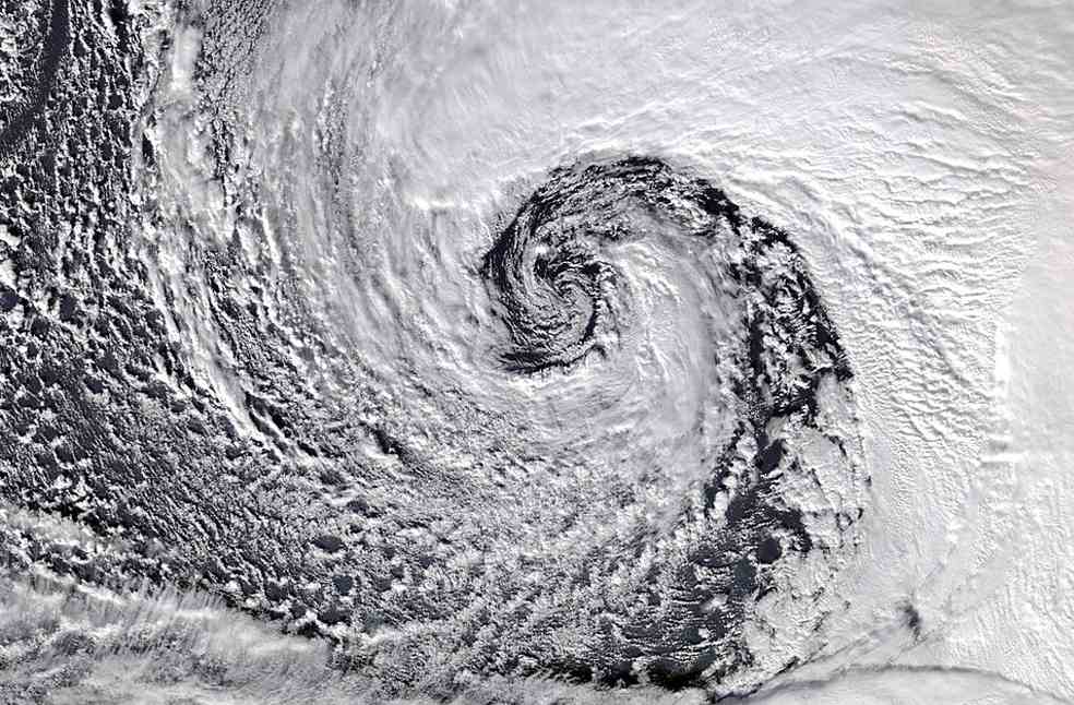
The Met Office warned that Storm Boelo could pose a danger to life due to flying debris and large waves crashing onto coastal areas. Strong winds of 50–60mph are also possible elsewhere in the UK, while heavy rain could create additional hazards, particularly in northern regions.
Met Office Chief Forecaster Jason Kelly urged people to prepare for possible travel disruption and power outages. Residents were advised to secure loose outdoor items, plan journeys carefully and monitor the latest weather forecasts.
The Environment Agency had issued 58 flood alerts across England by 8pm on Saturday, indicating possible flooding, alongside 12 flood warnings where flooding was expected.
Storm Boelo has also disrupted transport and public events. Dublin Airport reported the cancellation of nine departing and 10 arriving flights by 4pm on Saturday because of weather-related problems. Six arriving flights carried out go-arounds, with most landing on a second attempt.
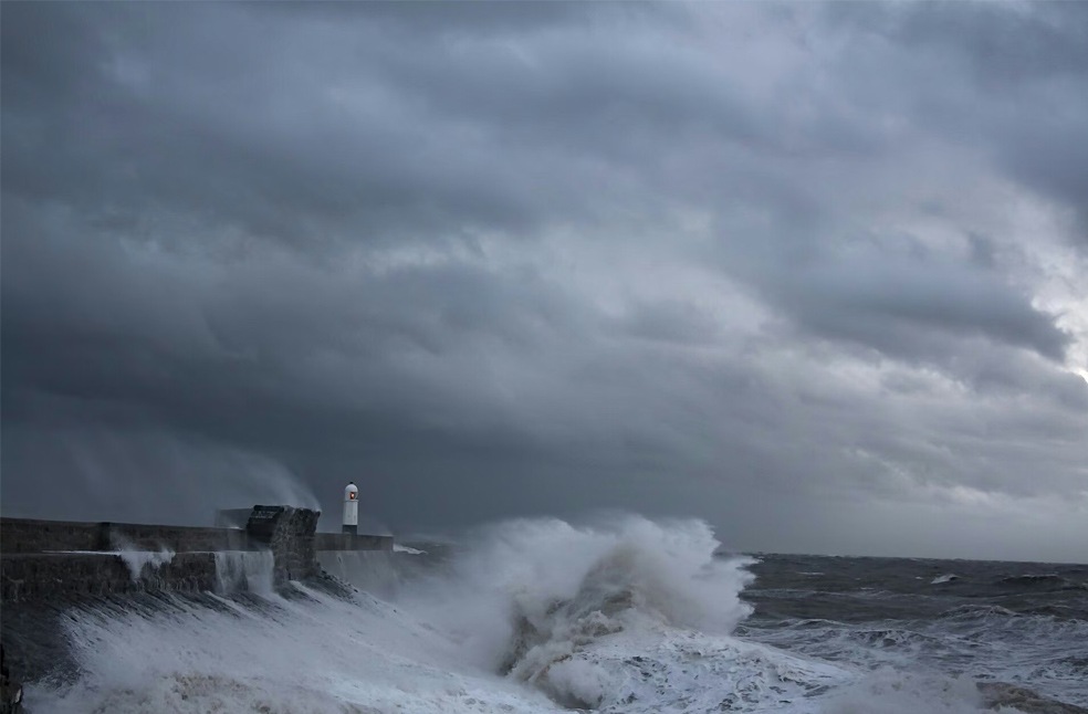
Network Rail urged residents living near railway lines to secure garden furniture and other loose objects after sharing images of a trampoline and a shed beneath a train and beside the tracks.
Several public events and attractions have also been affected. Liverpool’s River of Light festival was cancelled on safety grounds, while London’s annual Diwali on the Square celebrations scheduled for Sunday were called off following recommendations from independent health and safety experts.
Edinburgh Castle and the Fountains Abbey estate in North Yorkshire, which had planned to host its Fountains by Floodlight event, were also due to remain closed on Sunday as the storm continued to affect the UK.
Authorities have urged residents across affected regions to follow official weather updates, secure loose outdoor items and avoid unnecessary travel while Storm Boelo continues to bring strong winds and heavy rain. People in flood-prone and coastal areas have also been advised to remain alert to changing conditions and follow safety guidance as the storm moves across the UK.
ALSO READ | France Luxury stores brace for fresh protests after riots