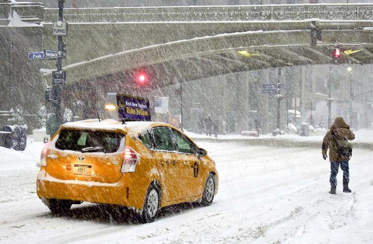
Washington DC: A massive winter storm is set to impact tens of millions of Americans, bringing the heaviest snowfall and coldest temperatures in over a decade.
National Weather Service (NWS) said that, The storm, which began in the central US, is expected to move eastward in the coming days, causing treacherous conditions across parts of the country, including Mississippi and Florida—areas not typically exposed to severe cold.
Forecasters attribute the extreme weather to the Polar Vortex, which has led to temperatures well below historical averages and could result in the coldest January in the US since 2011.
In the central US, the storm will cause significant disruptions, including dangerous driving conditions, widespread closures, and snowfall of at least 8 inches in areas like Kansas and Indiana.
❄️January 4-6 Winter Storm❄️
Disruptive Winter Storm This Weekend
There is high confidence for significant wintry weather beginning this weekend. Impacts will start in the Central Plains by late Saturday, then across the Ohio Valley on Sunday where severe travel disruptions are… https://t.co/e2Sj6N73XG— National Weather Service (@NWS) January 3, 2025
Blizzards are also possible, with whiteout conditions making travel hazardous and posing a high risk of motorists becoming stranded. Sleet and freezing rain are expected to affect Missouri, Illinois, Kentucky, and West Virginia.
As the storm moves east, cities such as Washington DC, Baltimore, and Philadelphia will experience icy conditions, with snowfall amounts ranging from 5 to 12 inches in parts of Virginia.
Additionally, southern US states like Arkansas, Louisiana, and Mississippi could see severe thunderstorms on Sunday. Meteorologists warn that the storm may cause a “potential disaster,” with conditions unseen in recent years.
Airlines such as American, Delta, Southwest, and United are waiving change fees due to anticipated flight disruptions.


