California: Multiple storm systems will move up the West Coast this weekend and in the next early work week, bringing rain and snow to California.
Storms to the west are expected to bring flooding and damaging winds across the region, as well as snowpack in the mountains. The first storm hit California, bringing steady rain to the central and northern parts of the state.
The reports indicate that there will be a widespread occurrence of precipitation and mountain snow. The storm is expected to move in a direction that will push it towards the Rockies and Intermountain West region. In the meantime, a stronger storm system is approaching California and will sit offshore for most of the day before bringing steady rain showers to the coast.
Californians can expect heavy rain, mountain snow and damaging winds to last most of the day before moving east into the Rockies. A few parts of the Sierra Nevada and Northern California ranges could see 2-6 feet of snow.

At lower elevations, rainfall totals range from 2-4 inches, but in the hills and mountains, rainfall totals range from 4-8 inches, leading to localized flash flooding. Currently, 26 million people are under flood warnings across the state, including Los Angeles, Fresno, Sacramento and San Francisco.
Likewise, winds across the state will range from 30-50 mph, with some areas in the mountains expected to exceed 60 mph, with the potential for damaging winds. Sixteen million people across central and northern California, including San Francisco, are under wind warnings.
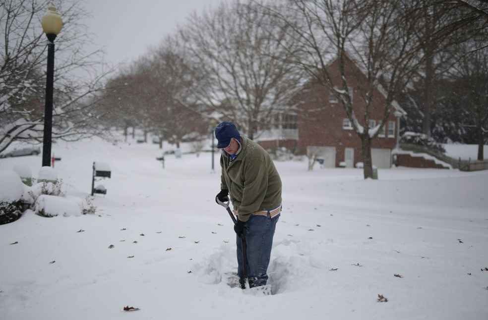
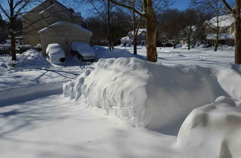
Continuing through the weekend, lake effect snow will affect western New York, Pennsylvania and north-eastern Ohio, where totals of 2-6 inches are expected. In some areas, 10-12 inches is possible. Winter alerts are still active for Buffalo, Erie, and Cleveland.


