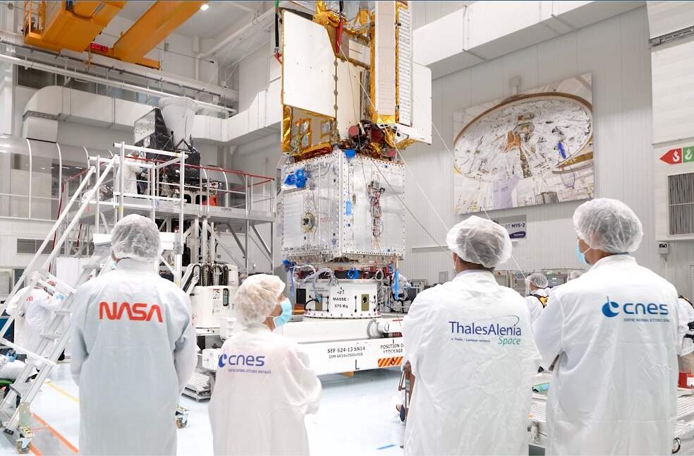
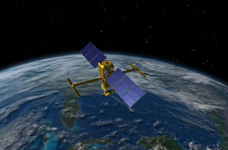
California, US: A NASA-led multinational satellite mission was scheduled to launch on 15th December 2022 from Southern California on a significant Earth science mission to conduct the first-ever complete survey of the world’s oceans, lakes, and rivers.
The Surface Water and Ocean Topography (SWOT), the advanced radar satellite is designed to give scientists an unprecedented view of the life-giving fluid covering 70 percent of the planet, shedding new light on the mechanics and consequences of climate change.
According to the statement, freshwater bodies are another key focus of SWOT, equipped to observe the entire length of nearly all rivers wider than 100 meters, as well as more than 1 million lakes and reservoirs larger than 62,500 square meters.
The @NASA_LSP managed SWOT mission will survey nearly all water on Earth’s surface, helping scientists track how fresh and saltwater bodies change.
?Tune in today at 3pm EST for the Science Briefing to learn more:https://t.co/YmQur0UuwO
Have questions? Submit using #ASKNASA pic.twitter.com/1CZXebTvSm
— NASA's Kennedy Space Center (@NASAKennedy) December 13, 2022
A Falcon 9 rocket owned and run by billionaire Elon Musk’s commercial launch company SpaceX was planned to lift off early from the Vandenberg US Space Force Base, roughly 275 KM northwest of Los Angeles in order to carry SWOT into orbit.
The SUV-sized satellite will produce research data in a few months if everything goes according to plan, as per the report.

According to scientists, SWOT, which has been in development for almost 20 years, uses cutting-edge microwave radar technology that will collect height-surface data of oceans, lakes, reservoirs, and rivers in high-definition detail over 90 percent of the earth.
The researchers stated that, the data, which was gathered via radar scans of the earth at least twice every 21 days, would improve ocean circulation models, support weather and climate forecasts, and help manage restricted freshwater supplies in drought-stricken areas.


