


Miami, Florida: Hurricane Erin, the first hurricane of the 2025 Atlantic season, has been downgraded to a Category 3 storm from Category 4, according to the United States National Hurricane Center (NHC), as wind speeds eased slightly. Early Sunday, Erin was located about 330 miles (530 km) southeast of Grand Turk Island, packing maximum sustained winds of 125 mph (205 kph).
Hurricane Erin had previously reached a catastrophic Category 5, with winds up to 160 mph (240 kph), before being downgraded to Category 4. It had been forecast to strengthen further during the week. Erin is moving west-northwest at nearly 14 mph (22 kph), with a decrease in forward speed expected Sunday and a turn to the north on August 18 and 19.
Swells generated by Hurricane Erin will continue to impact the northern Leeward Islands, the Virgin Islands, Puerto Rico, Hispaniola, and the Turks and Caicos Islands over the next few days. These swells are expected to spread to the Bahamas, Bermuda, the US East Coast, and Atlantic Canada early to mid-week, creating life-threatening surf and rip currents.
Category 4 Hurricane #Erin passes to the north of Puerto Rico. Here are the 11 pm AST forecast Key Messages. Visit https://t.co/tW4KeGe9uJ for updates. pic.twitter.com/ISaWrmQpUn
— National Hurricane Center (@NHC_Atlantic) August 17, 2025
The Bahamas, which provides meteorological services for the Turks and Caicos Islands, has issued a Tropical Storm Watch for the British islands to its southeast.
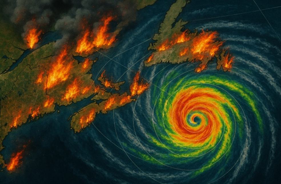
Hurricane Erin has also raised wildfire concerns, as human-caused sparks combined with dry conditions and strong winds could ignite vegetation. Senior meteorologist Andrew Siffert from BMS Group noted that powerful offshore storms can arise from colliding warm and cold air, in addition to tropical seas.
The US government has deployed over 200 personnel from FEMA and other agencies as a precaution. In Puerto Rico, 367 shelters were inspected and readied for use. Officials in the Bahamas are preparing shelters and advising residents to monitor storm developments closely.
Hurricane Erin is the fifth named storm of the Atlantic season, which runs from June 1 to November 30 and is expected to be unusually active. Six to ten hurricanes are predicted, including three to five major hurricanes with winds exceeding 177 kph (110 mph).
Scientists have linked the rapid intensification of Atlantic hurricanes to climate change, as warmer oceans and higher atmospheric water vapor levels provide energy for storms to strengthen faster and produce heavier rainfall. Such rapid intensification complicates forecasting and emergency planning.
MOST READ | Alaska Summit: Trump, Putin see progress but no final deal