


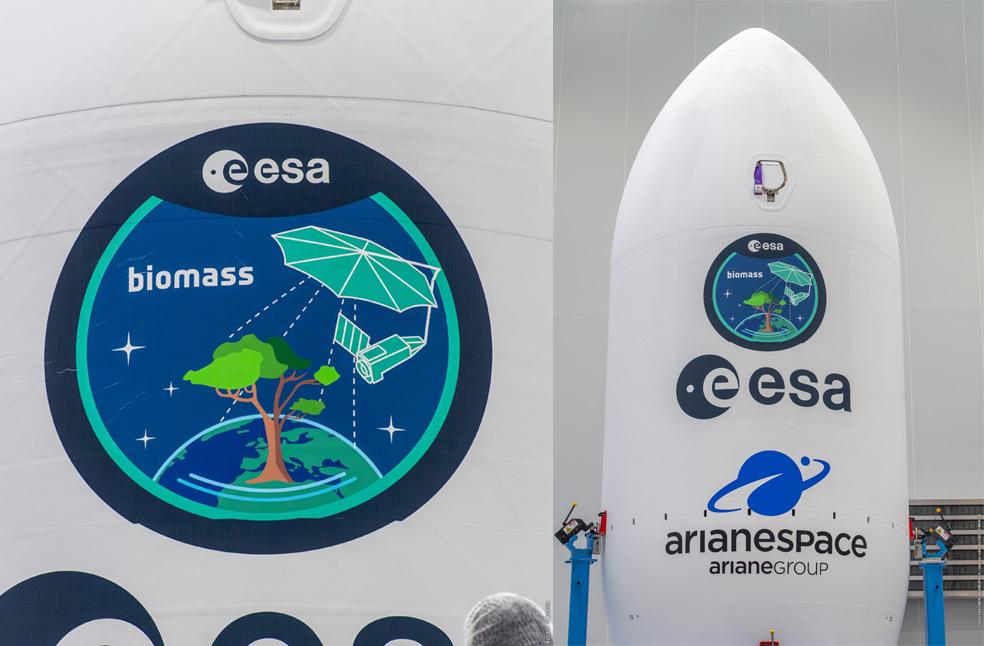
Kourou, French Guiana: A groundbreaking satellite, Biomass, designed to transform understanding of Earth’s forests is scheduled for launch, offering scientists an unprecedented ability to measure the carbon stored in trees, a crucial element in combating climate change.
Developed by the European Space Agency (ESA), the Biomass satellite can penetrate cloud cover and dense tree canopies to ‘weigh’ the world’s forests, providing insights into the amount of carbon locked in vegetation, which helps to remove harmful carbon dioxide from the atmosphere.
Until now, accurately calculating the amount of carbon contained in the world’s approximately 1.5 trillion rainforest trees has been beyond scientific reach.
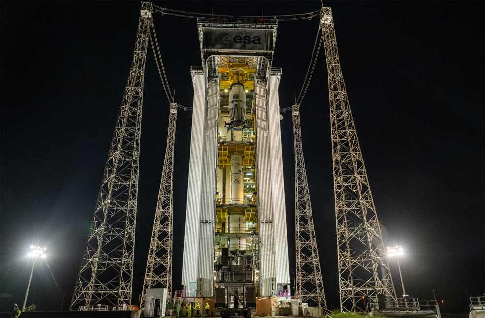
Two months in two minutes: timelapse video of @esa_eo's Biomass satellite getting ready for liftoff, 29 April on Vega-C flight #VV26.
🚀
🟩Latest weather report is green for go! pic.twitter.com/k2IodNcRz2— ESA Space Transport (@ESA_transport) April 28, 2025
The project
The project, led by British aerospace company Airbus, aims to dramatically improve the precision of climate models and provide better monitoring of global deforestation trends.
The satellite is scheduled for launch at 10:15 BST from ESA’s Kourou spaceport in French Guiana. It features a distinctive 12-meter-wide radar antenna, earning it the nickname ‘space brolly’ because of its umbrella-like appearance.
This vast antenna uses radar technology operating at a much longer wavelength than current satellites, allowing it to see through the leafy tops of forests to detect trunks and large branches that are otherwise hidden.
Dr. Ralph Cordey, Head of Earth Observation and Science at Airbus, remarked that while current space radars capture clear images of icebergs, they only show the tops of forests. Biomass, using a longer radar wavelength, will penetrate the canopy and reveal the forest structure beneath.
Weighing 1.2 tonnes, the satellite will operate similarly to a CT scanner, slicing through forests during repeated orbits to build up detailed images of the woody material, a key indicator of how much carbon is being stored.
Currently, scientists must rely on labor-intensive ground surveys of individual trees, extrapolating that data to estimate global figures. However, this method has major limitations.
Professor Mat Disney, a remote sensing specialist at University College London, explained that, “Measuring trees across vast rainforests is challenging. We’re trying to assess the carbon in one and a half trillion trees, and satellites are the only way to gather consistent data across the tropics.”
Even after Biomass is operational, ground-based measurements will continue, helping verify and validate the satellite’s data.
Detailed engineering drawings and pre-launch tests show the antenna’s unfurling process: the tightly packed structure will deploy in space, expanding into a large, mesh-covered disc supported by black struts and powered by solar panels. Despite thorough preparation, the unfurling phase will be complex.
The unfurling phase
Dr. Cordey said that some parts of the satellite, particularly the 12-meter antenna, are enormous, and also compared the unfurling process in orbit to opening a giant umbrella, emphasizing that it’s a crucial event that will be closely monitored.
For the antenna’s construction, Airbus partnered with US company L3Harris Technologies, a specialist in creating large, deployable space structures, an area where Europe currently lacks capabilities.
Assuming a successful launch and deployment, scientists expect to deliver the first detailed carbon storage maps within six months. The Biomass satellite will then continue to collect data over a planned five-year operational life.
Annual maps produced by Biomass will not only show the amount of carbon stored in forests but also highlight where losses due to deforestation are occurring.
Professor Disney noted that traditional satellite observations, such as those from the long-running US Landsat program, often suffer from interference by persistent cloud cover in tropical regions, making forest monitoring inconsistent. Biomass’s long-wavelength radar can penetrate clouds, ensuring consistent, year-on-year comparisons.
The Biomass team, many of whom have dedicated more than 20 years to this mission, are excited about its potential to unlock a deeper understanding of Earth’s vital natural systems.
Dr. Cordey expressed excitement, saying that, “This mission offers a unique look at the structure and health of forests, which are crucial in regulating the climate and vital for our future.”
ALSO READ | Study links ultra-processed food to increased risk of early death